Wow, three more weeks left! I can't believe that my time here is coming to an end. I have mixed feelings. I want to return to Denver, to city life, to friends, but this magical place has something about it. It's just so awesome and full of unexpected adventures, it's going to be hard to leave that part behind.
This week, I'm exhausted. The past weekend I was in Canada for the last time and had great weather plus views. It was also the last weekend the entire Going-to-the-Sun road was open so I took advantage of the East side being accessible. I hiked to two major waterfalls, Virginia Falls and St. Mary's. What a great hike. Such a pretty area.
 |
| Driving up the road to Logan Pass. Fall colors! |
 |
| St. Mary Falls. |
 |
| Virginia Falls. |
 |
| Virginia Falls from below. |
From there I drove to the Chief Mountain boarder crossing and entered Canada. From the border crossing, it's only 30 minutes to Waterton. The drive was AMAZING! The aspen were in all their yellow glory. Not to mention, there was an Indian Summer feeling. Perfection.
 |
| Chief Mountain on the right. |
When I got to Waterton, I drove down one stretch of Wateron called the Red Rock Canyon and saw two black bears and did two short hikes. I hiked the little red canyon which is a striking red rock water shoot that looks nothing like the surrounding rocks. It's almost as if the water painted red as it came down the canyon. I also hiked to a nice waterfall. It wasn't as beautiful as the Glacier falls, but a nice walk.
 |
| Looking down into the canyon form the top walking bridge. |
 |
| Looking from down in the canyon up. |
 |
| Falls! |
The next morning I got up early and hiked up a strenuous trail that's only a mile long, but basically straight up, to reach Bears Hump. This overlook has the best view of Waterton and the valley. I hung out and had the view all to myself for over half an hour. I only encountered people on my trek back down the trail. I was thankful I had already done the UP part. Phew.
 |
| Looking down into Waterton from the hump. |
 |
| The trail. Straight. Up. |
 |
| A view to the right. |
 |
| Pano. Notice Prince of Wales Hotel in the bottom left. |
After my epic view hike, I drove the only other canyon road in Waterton called Akamina Parkway and did a series of hikes off the highway. First I hiked to Crandell Lake and literally had the place to myself except for some campers on the other side of the lake. Magical.
 |
| Crandell Lake. |
Further down the parkway, is Cameron Lake. A beautiful lake where I hung out in the sun and took the chance to just be in my surroundings. I ate lunch, napped, and read a little.
 |
| Cameron Lake. |
In the afternoon, I hiked on a trail that crosses over the Alberta and British Columbia border. The territory boundary for British Columbia is the continental divide, so I hiked over the continental divide and into Akamina Provincial Park. There was a short hike into some falls and so keeping on my waterfall theme, I knew where my destination would be. On the hike, I stumbled upon the Akamina Park headquarters. Now can you say remote?
 |
| Now in BC. |
 |
| Akamina Park Headquarters. |
 |
| Falls. |
Overall even while I was hiking alone in theses places, I felt versed enough and comfortable in my surroundings. The hikes I picked mostly had people on them and even when humans were sparse, I was confident in my abilities. Plus, the huckleberries are all dried now. No bears sighted.
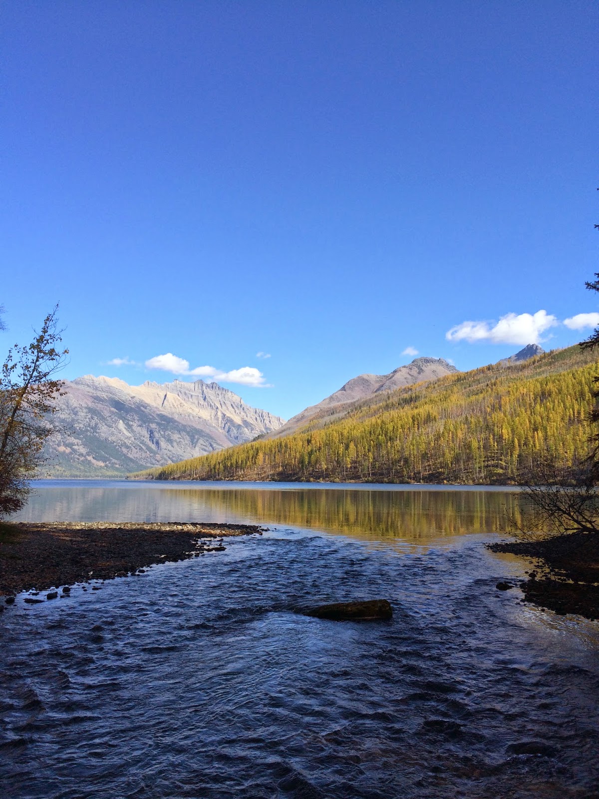
When I drove back to Glacier, I drove the Going-to-the-Sun road for the last time and stopped at the most iconic place along St. Mary Lake. What a view!
 |
| Classic Glacier. View from St. Mary. |
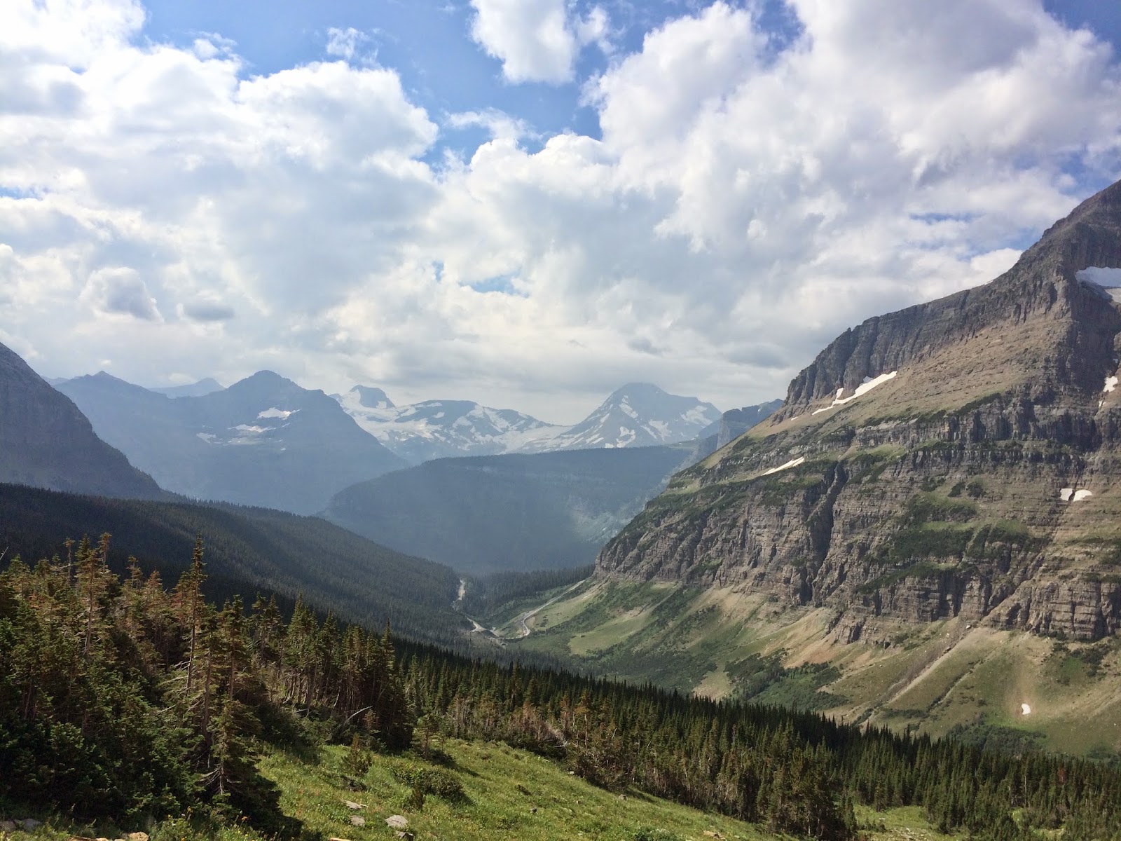
Now, while being on the high from my sunny, fall color filled weekend, I was invited to join one of the archeologists on a hike again. I jumped at the opportunity to enjoy the nice weather and get out again. This time we were hiking the loop trail up to Granite Park Chalet. I've hiked this trail down from the Highline at Logan Pass, but going up is a grunter. The trail starts in the burn area near Heaven's Peak and is hot and steep. For about 3.4 miles it's all exposed and vertical climbing. The last .8 miles is in the wooded forest below the Chalet. We stopped after our climb for lunch at the Chalet which had closed three weeks before. Great views and lovely sunshine.
 |
| The look from Granite Park Chalet up into Logan Pass. |
 |
| Granite Park Chalet. |
 |
| Hiking down the Loop. |
After lunch, we got to our site work. We tried to find a number of sites that were supposed to be in the area, but didn't have luck. Some things had been moved and so the directions from previous surveyors were way off. And GPS coordinates were incorrectly inputed. That was an interesting experience, bushwhacking through the mountain side. We did find one site and completed our survey. I got to take pictures. While my feet did not like me, I enjoyed being out of the office for the day. To top off my field day, on our drive back into West Glacier from the Park, we got stuck in a wildlife jam. It was two moose in the river around a bend. I didn't get a photo, but finally saw my moose for the season! And two of them!
My work is going very well. I have completed the 'K' files and am now just tying up the loose ends, making labels, correcting my finding aid, and writing scope notes. Wow, can't believe I made it! Here is a picture of my last two boxes:
 |
| Last two hollingers. |
These last three weeks will be sitting down with the archivist and creating processing plans for some of the other collections and going over all our work and creating the final finding aid for the central files. Wooooooo! Project almost complete.
This weekend I plan to relax and enjoy some down time. I got word this week that I have to move for my last two weeks into a new house. The park needs to winterize my apartment unit and so I'll be moving into a house with a fall research intern. I've met her but only in our department meetings. At least I'll have some more human interaction for the last few weeks I'm here. Yey! So this weekend I'll also begin to pack and go through things and clean.


